Lamar State College, Orange
GEOL 1103Lab 9 Worksheet Topo Maps
Lab 9 Worksheet Topographic Maps (30 points)
Name Brittanie Roberts (-2 points if missing)
Date 04/05/2019
Use your textbook, lab and lecture PowerPoints, and internet as needed to
answer all questions in each of the 2 parts. Please explain everything in your own
words.
Part 1 General questions map border areas (Please use
...[Show More]
Lamar State College, Orange
GEOL 1103Lab 9 Worksheet Topo Maps
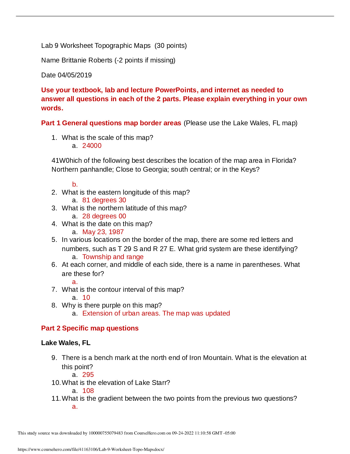
Lab 9 Worksheet Topographic Maps (30 points)
Name Brittanie Roberts (-2 points if missing)
Date 04/05/2019
Use your textbook, lab and lecture PowerPoints, and internet as needed to
answer all questions in each of the 2 parts. Please explain everything in your own
words.
Part 1 General questions map border areas (Please use the Lake Wales, FL map)
1. What is the scale of this map?
a.
41W0hich of the following best describes the location of the map area in Florida?
Northern panhandle; Close to Georgia; south central; or in the Keys?
b.
2. What is the eastern longitude of this map?
a.
3. What is the northern latitude of this map?
a. 28 degrees 00
4. What is the date on this map?
a. May 23, 1987
5. In various locations on the border of the map, there are some red letters and
numbers, such as T 29 S and R 27 E. What grid system are these identifying?
a.
6. At each corner, and middle of each side, there is a name in parentheses. What
are these for?
a.
7. What is the contour interval of this map?
a. 10
8. Why is there purple on this map?
a.
Lake Wales, FL
9. There is a bench mark at the north end of Iron Mountain. What is the elevation at
this point?
a. 295
10.What is the elevation of Lake Starr?
a. 108
11.What is the gradient between the two points from the previous two questions?
a.
12.Near the south edge of Lake Peirce, there are some funny symbols in groups.
What does this symbol mean?
a.
13.What are all those circles with hachured lines. What do they represent?
a.
Blakely Island Map
14.What is the highest elevation on Decatur Island?
a. 346
15.What is the southern latitude of this map?
16.What is the contour interval of this map?
a. 60
17.What is the elevation difference between Blakely Peak and Horseshoe Lake?
a. 688
18.There is a line through Blakely Island with dashes and dots. What does this
represent?
a.
19.What is the elevation of the landing strip on Blakely Island?
a
20.What is the highest Index contour line on this map?
Cordova, Alaska
21.What is the contour interval of this map?
22.What is all that white on this map?
23.Going north up the Copper River, near the glaciers, there is some purple. What
could this represent?
24.At the top of the map, under the word ‘Cordova’ there is ‘R 2 W’ in red. Under
that is Deserted Glacier. What is the elevation of the highest contour line on
Deserted Glacier?
a.
Lake Scott, Kansas
25. What are 2 ways to help determine the direction of stream flow?
a.
26.What direction does Ladder Creek flow?
a.
27.What is the elevation difference from the top of Morgan Draw to Ladder Creek?
28.In which section of T 16 S, R 33 W is the boat ramp?
a.
29.Is the area between Timber Canyon and Landon Draw hilly or flat?
[Show Less]